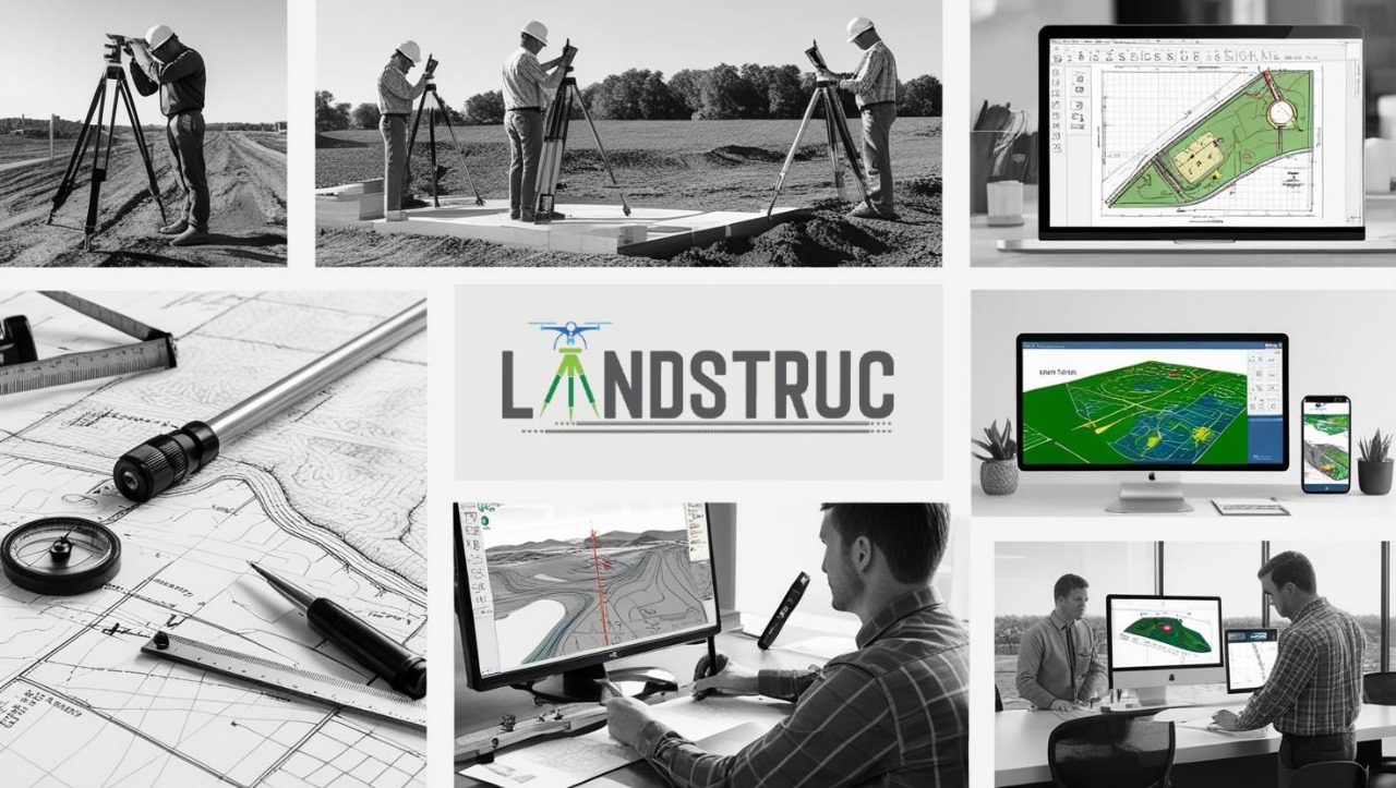
Land Survey
Landstruc is a team of highly skilled CAD drafting professionals specializing in the precise design requirements essential for land survey and land development projects, whether residential or commercial. As a trusted provider of land survey & development drafting-detailing services across the USA, Australia, the UK, and globally, we strive to deliver designs that not only meet but exceed client expectations while adhering to international standards and local regulations.
Our services provide outstanding support in creating both traditional and modern land survey designs, customized to align with the specific needs of each project and the standards established by the firms.
Land Survey Drafting
At LandStruc, we take pride in providing customized land survey CAD drafting solutions crafted to meet the distinct needs of each project. Here’s an overview of the specialized services we offer:
- Boundary Survey: Precise identification of property lines and boundaries.
- Sectional Infractions (US): Detailed drafting of sectional and fractional land divisions based on legal descriptions.
- Metes & Bounds (US standards): Accurate drafting of traditional property descriptions.
- Mortgage Surveys: Fast and precise mapping for mortgage evaluations.
- ALTA Survey: Drafting compliant with ALTA/NSPS standards for real estate transactions.
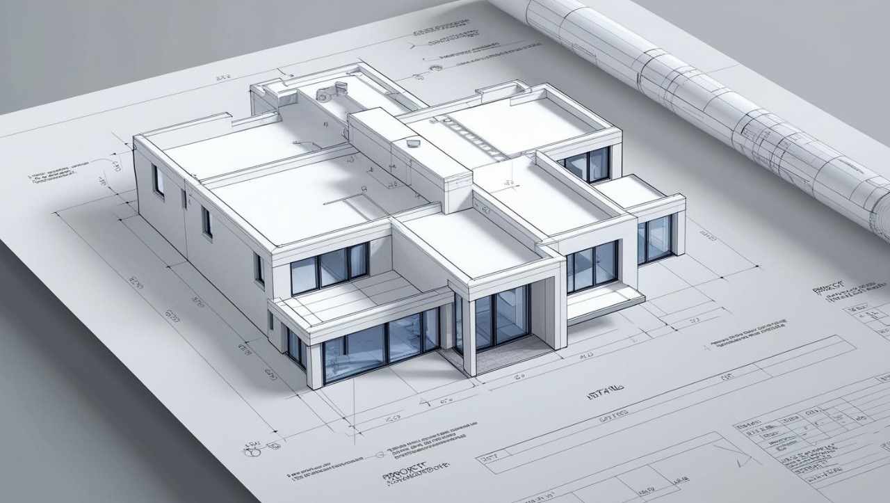
- Topographical Survey: Detailed topographic mapping for planning and design purposes.
- Right of Way Survey: Mapping and defining access and usage rights.
- Utility Survey: Mapping above-ground and underground utilities.
- Plot Plans: Comprehensive mapping for residential property surveys.
- Asbuilt Drawings: Accurate drafting for all aspects of land development, including sanitary, sewerage, and city water lines.
- Plat Map: Precision drafting for subdivisions or legal filings.
- Subdivision Survey: Drafting land parcel divisions for sale or development.
Survey Types We Support
We offer expertise in a wide range of surveying types to cater to diverse project requirements:- Point Files: COGO, PNEZD, or CSV formats.
- Plat Map and Legal Deed: Essential legal and property description.
- Title Commitment Documents: For Title Review,Easements and setback distances etc.
- Sample DWGs: Reference drawings for consistency.
- Property Images: Clear visuals of the site.
- Field Sketches: On-site measurements, Control sheets etc.
- Orthophotos/Drone Images: Aerial imagery for detailed mapping.
- Scan Data: Formats such as LAS, E57, etc.
- Additional Details: Any other relevant information necessary for project accuracy.